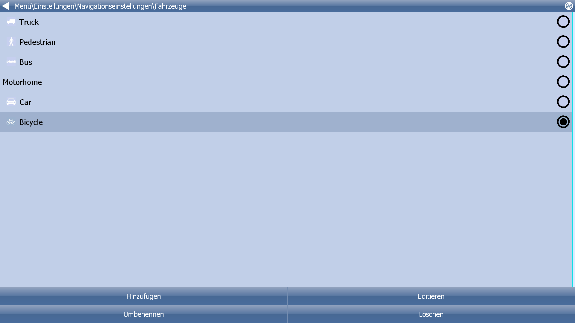
Bicycle Profile is completely useless
-
8 Comments sorted by
-
At a first glimpse it looks like Your bicycle profile's settings being wrong. Did You exclude some streets completely?
-
@Matthias: Disable "Small local road" and "Other road" in the road restrictions and the route will be OK.
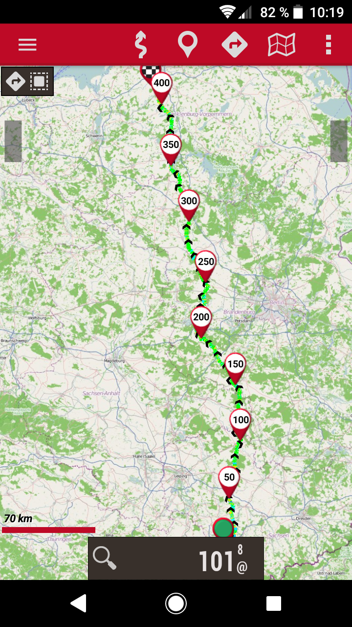
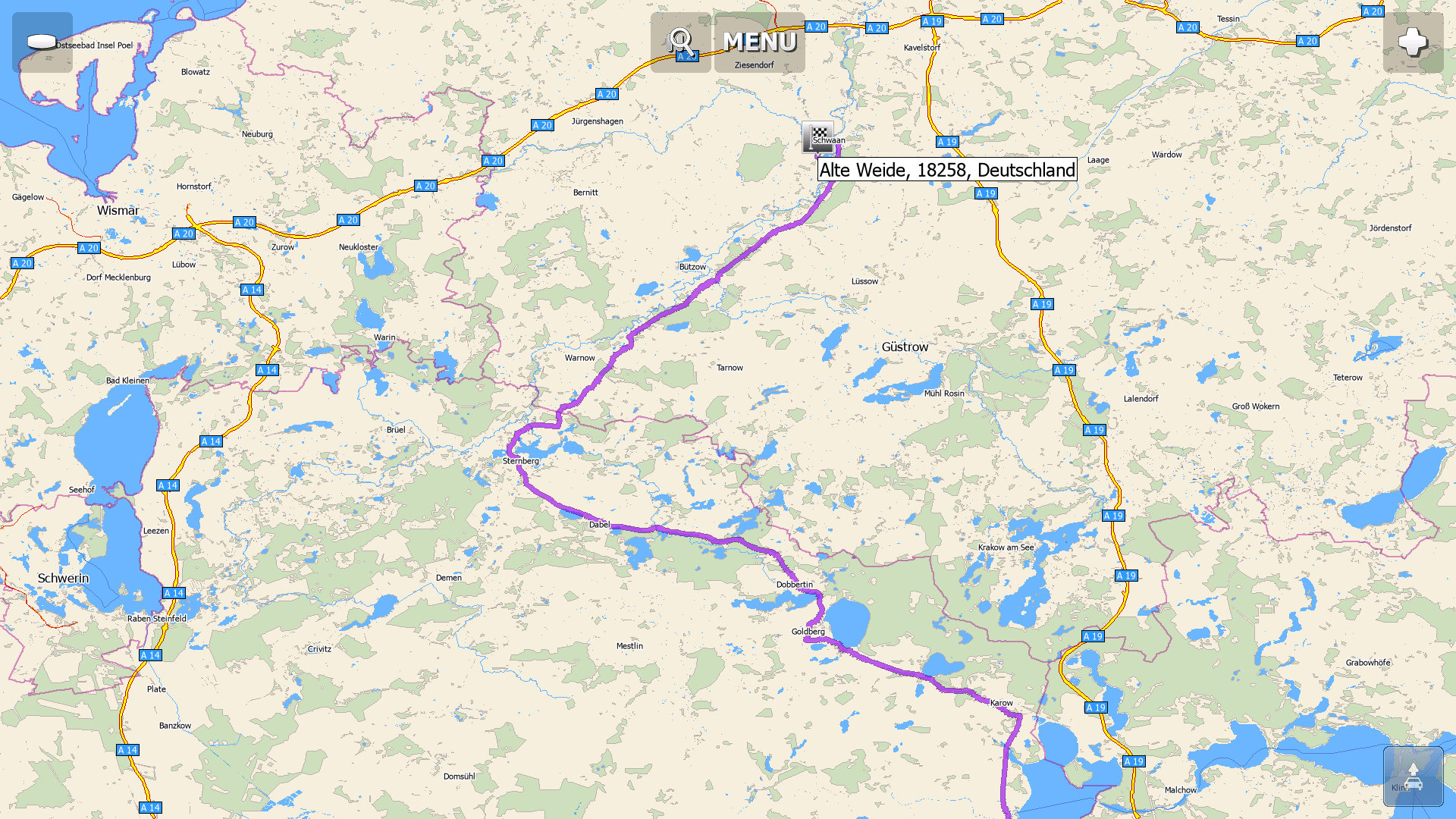
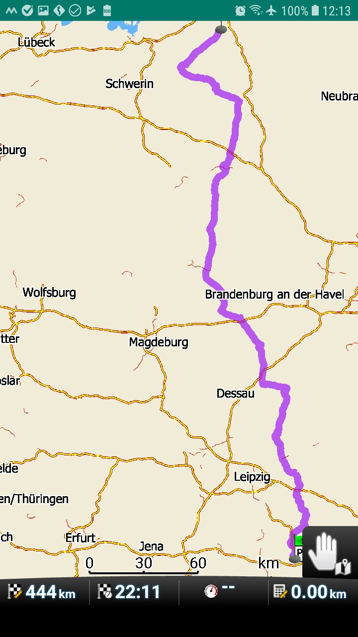
"Schwaan, Alte Weide" to "Chemnitz, Town Center" with bicycle:
"Small local road" and "Other road" enabled --> 449 km, 22:25:00 h
"Small local road" and "Other road" disabled --> 424 km, 21:10:55 h
Often same issue with car when "Small local road" is enabled.
See http://forum.mapfactor.com/discussion/8143/strange-routing -
That looks, as if Navigator confuses enable and disable. One would expect the shorter route, when small roads are enabled!?Anyway for a real bycicle routing I would prefer Oruxmaps (oruxmaps.com) together with BRouter (Playstore; download of specific elevation data from within the app) and maps from openandromaps.org. The B in BRouter stands for bycicle and considers slope and slope, and this example is even 7 km shorter. All is free as Navigator can be. ;-)


Howdy, Stranger!
It looks like you're new here. If you want to get involved, click one of these buttons!
Categories
- All Discussions3,266
- Feature Requests1,276
- Bugs559
- General378
- Navigator FREE1,031
- Vehicle Tracking5
- Navigator 1017
In this Discussion
- 2highlander May 2019
- Delfin May 2019
- Matthias May 2019
- Oldie May 2019
- tomas May 2019